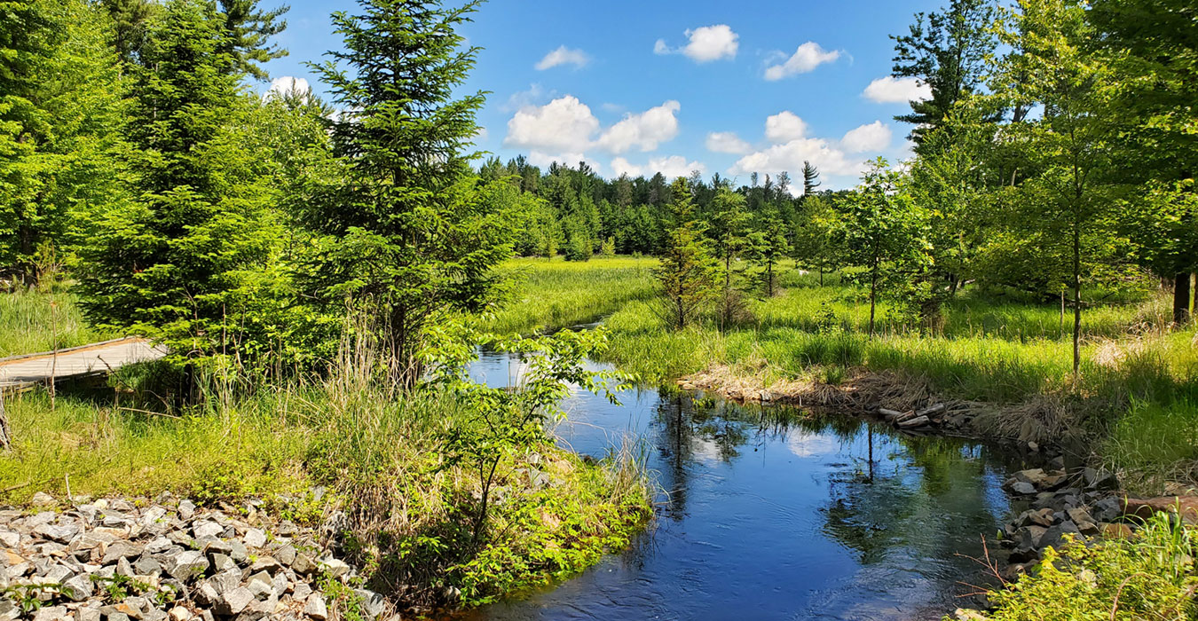
For more than 70 years, Moses Creek flowed in a drainage ditch through the eastern portion of Schmeeckle Reserve. A major restoration project in summer and fall of 2010 re-created the natural meanders of the stream and restored 17 acres of historic wetland floodplain. New trails and boardwalks provide access to the wetland, which has been planted with native trees, shrubs, and marsh vegetation.
The $900,000 restoration was funded as a mitigation project by the Wisconsin Department of Transportation. In 2013, the project was awarded an Environmental Excellence Award in Collaboration and Partnership by the Federal Highway Administration.
Background
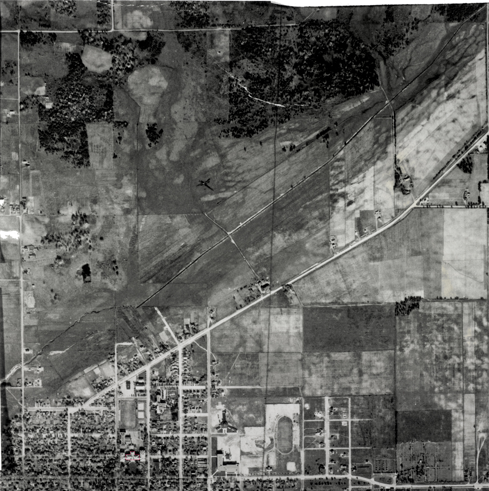
In the late 1800s, Moses Creek was ditched in an effort to drain wetlands for farming. During summer droughts, the streambed was dry and sterile. During periods of high rain and snow melt, the creek could swell to the top of the ditch, and on occasion flooded the Brillowski subdivision east of the Reserve. In the 1970s, floodwaters clogged storm sewers on campus, filling basements and spilling over athletic fields.
Restoring Moses Creek to its natural meanders and wetland has always been a priority of Schmeeckle Reserve. In 1996, Schmeeckle acquired 15.5 acres along Moses Creek on the east side of the Reserve through a Stewardship grant in partnership with Portage County. In 2008, with a donation of an additional 5.25 acres by the Milano and Sciarrone families, most of the creek from North Point Drive to Maria Drive was protected within Schmeeckle’s borders.
In 2008, the U.S. Army Corps of Engineers and the Wisconsin Department of Transportation approached Schmeeckle Reserve with a project idea that included restoring 17 acres of wetlands along Moses Creek and moving the creek into a more natural meandering stream bed. This led to a diverse collaboration of partners, including state, federal, and local agencies, consulting firms, the City of Stevens Point, the University of Wisconsin-Stevens Point, the Green Circle Trail, and several other community groups.
In 2010, after two years of planning and collecting data, the project was constructed.
In 2013, the project was awarded an Environmental Excellence Award in Collaboration and Partnership by the Federal Highway Administration.
Restoration Timeline
- April 2008-October 2009: Collected data on study area, including wetland delineation and ground water monitoring
- December 2008-May 2009: Stakeholder, neighborhood, and public informational meetings
- February-March 2010: Oak trees in the study area cut to reduce the risk of introducing oak wilt
- July 26-December 1, 2010: Excavated the stream channel and 17 acres of wetlands. Native trees, shrubs, and wetland vegetation planted. New boardwalk constructed.
- May 11, 2011: Grand Opening celebration
- Spring 2011-Fall 2021: WisDOT contractors monitored and controlled invasive species in project area and buffer zone
- January 1, 2022: Management of the area was turned over to Schmeeckle Reserve.
Future management includes continued invasive species control, wetland and stream monitoring, and native wetland tree and shrub plantings.
Goals and Accomplishments of the Project
The goal of the project was to restore a meandering stream and adjacent wetlands, which would:
- Improve drainage with flood-prone areas north of campus
- Provide high-quality habitat and increase the diversity of wildlife and plants
- Offer unique educational opportunities for students and the community
- Improve the quality of aquatic habitat
- Serve as a pleasing recreation corridor for the community
The project accomplished the following:
- About 0.8 mile of Moses Creek was restored to a natural meandering waterway. The channel is narrow and shallow, allowing the creek to carve its own path over time.
- Approximately 17 acres of new wetlands were created along Moses Creek. This involved removing trees and excavating 2-3 feet of soil from the project area to improve floodplain functions.
- A 50-100 foot buffer of trees was left around the edge of the restoration area. Large specimen trees were identified and included as islands and peninsulas in the wetland floodplain.
- Native trees, shrubs, and wetland vegetation were planted to stabilize the excavated area, enhance habitat, and provide a visual buffer.
- Scrapes and depressions were excavated in the wetland areas, creating pools of water for wildlife.
- A half-mile, 10-foot-wide boardwalk was constructed as part of a new trail system that provides access to the restored wetlands and connects to the Green Circle.
- Invasive species were managed during the construction and will continue to be controlled until 2021.
Photo Gallery
Click the button below to view photo galleries of cedar signs and benches that were constructed at Schmeeckle Reserve (external link to Flickr).
Moses Creek Wetland Restoration GalleryResources
Original restoration reports and plans
- WISDOT Environmental Report
- Final Wetland Mitigation Plan
- Project area maps
- Restoration area plan maps
- Excavation grading plan map
- Stream section diagrams
Annual Monitoring Reports
Research Studies
- Moses Creek Floodplain Plant Species: After Restoration (In Progress, Oct. 2011)
- Moses Creek Plant Communities Study: Prior to Restoration (Oct. 2009)
- Effects of Urbanization on Moses Creek Watershed: Walt Rasmussen (Jan. 2005)
- Moses Creek Savanna Management Plan: Student Society for Ecological Restoration (Aug. 2003)