The GIS Center conducts Geographic Information Systems training, outreach, and research. Our training venues and customized manuals foster a highly-skilled, multidisciplinary geospatial workforce. Our community outreach and research help Wisconsin citizens and communities confront various types of geospatial challenges.
What is GIS?
Our personal and professional lives are permeated with spatial information or information about places. Geographic Information Systems or GIS uses computer hardware and software to collect, maintain, analyze, visualize, and communicate spatial information. GIS is the modern day computerized map. Like a map, GIS is used to visualize objects, events, and phenomena that are located at or near Earth’s surface. GIS helps humans navigate their surroundings. Unlike hardcopy maps, a modern GIS stores, retrieves, analyzes, and data about our world using desktop and cloud computing. GIS helps humans better understand and interact with the world around them.
Information about places, or geographic information, permeates our lives every day. The six o-clock news uses maps to exhibit today’s headlines. Our children take a safe route to school. We plan out our next vacation. A medical doctor identifies the source of West Nile Virus. A 911 operator dispatches an ambulance and fire trucks to a fire. Name any activity, object or event, no matter how simple or complex, and you will find that they are connected to a geographic location. A commonly accepted estimate is that 80 percent of all information has a spatial or place-based component.
Our Facilities
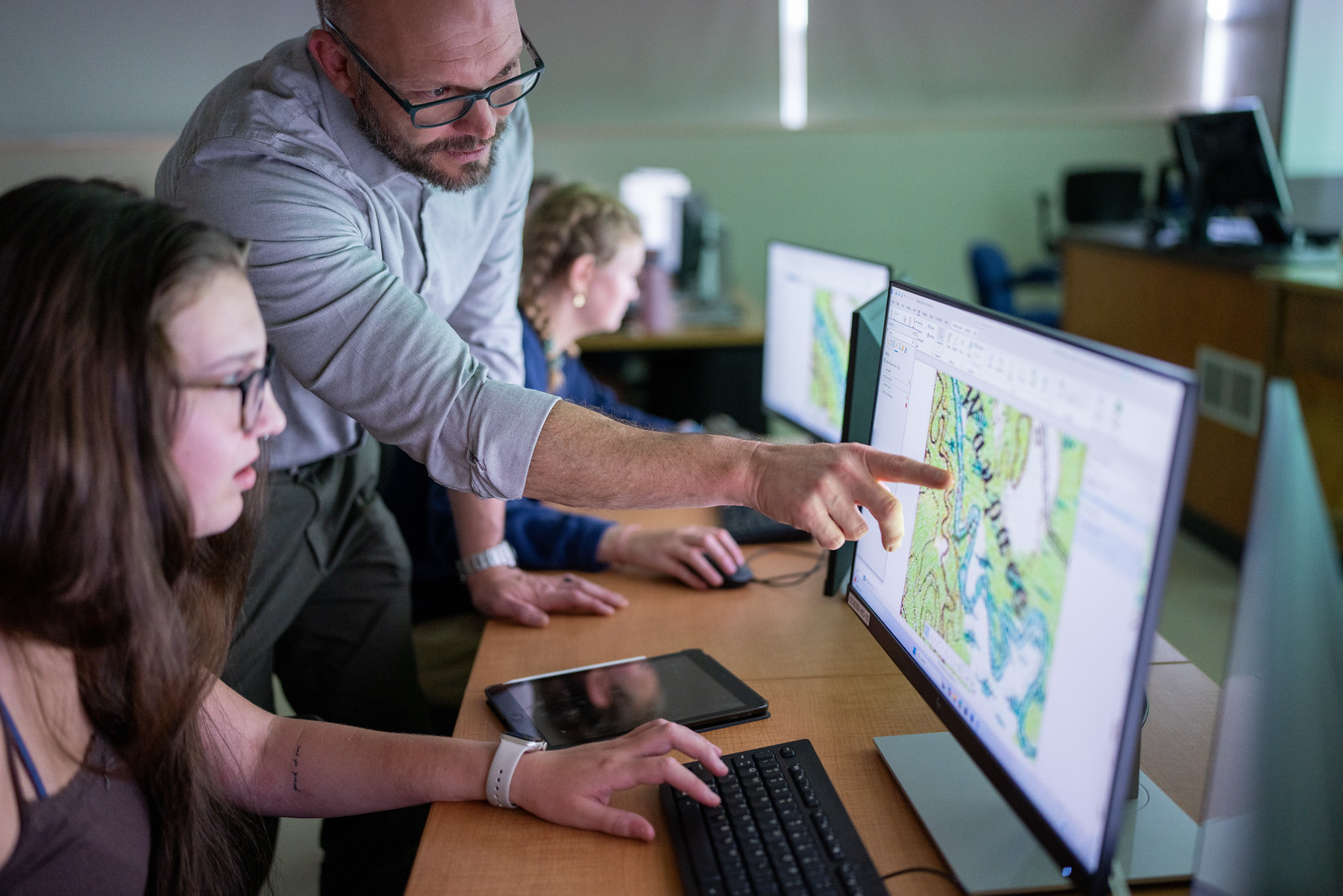
- GIS/Remote Sensing Classroom
The GIS/Remote Sensing Laboratory and Classroom Complex are located in B-308 and B-312 and are used for GIS, cartographic, and remote sensing analysis. The B308 is equipped with 30 teaching workstations. - Maurice E. Perret Map Center
The Maurice E. Perret Map Center, located in Room B304 of the Science Building, is administrated by the Department of Geography and Geology and is open to use by the university faculty and staff, as well as by the public. Access curated hardcopy map collections. Scan hardcopy maps for personal use. Peruse the digital geographic data collections, with assistance from Geography and Geology students. - GIS Center
The GIS Center is located in Room B304 of the Science Building and is administered by the Department of Geography and Geology. GIS Center faculty, staff, and students are eager to collaborate on community projects that require mapping, database design, data collection, or evaluation. The GIS Center also conducts customized GIS training