GIS Professional Certificate Program

ADVANCE YOUR CAREER WITH A GIS PROFESSIONAL GRADUATE CERTIFICATE

4 Courses. 12 Credits. 100% Online! 

Build your expertise and accelerate your career in Geographic Information Systems (GIS) with UW–Stevens Point’s GIS Professional Graduate Certificate. This flexible online program is designed for working professionals looking to strengthen their geospatial skills and expand their career opportunities.

Why pursue your GIS Professional Graduate Certificate at UWSP?

Career Advancement
  • The demand for GIS professionals continues to grow as more industries rely on geospatial analysis, data modeling, and spatial decision‑making.
  • Program graduates gain critical Tier 4 and Tier 5 Geospatial Competencies, preparing you for advanced professional roles and supporting your readiness to sit for the GISP exam.
Affordability and Value
  • Our competitively priced tuition is $600 per credit—the same for both in‑state and out‑of‑state students.
  • Increase your earning potential: according to the Geospatial Professional Network, the average annual salary for geospatial professionals in 2024 was $91,774.
Flexibility
  • Designed for busy professionals, all courses are taught asynchronously, allowing you to complete coursework on your schedule.
  • Choose a pace that works for you: earn your certificate in two semesters or spread your coursework over four semesters.

GET STARTED TODAY!

Request information and start your journey in our online GIS program. Our team will reach out to you about attending an information session.

Loading…

Build Your Competencies in GIS

The GIS Professional Graduate Certificate program prepares you for a dynamic, rapidly evolving field with wide-ranging career opportunities. Whether supporting public health and safety initiatives or contributing to climate preparedness planning, you will develop the skills to address complex organizational and societal challenges.

Throughout the program, you will strengthen your data management techniques and learn how to analyze, interpret, and apply geospatial technologies to create effective, real-world solutions. Hands-on projects will give you experience with the latest GIS tools and industry practices.

In addition, the curriculum aligns with several Tier 4 and Tier 5 Geospatial Competencies, helping you build the expertise needed to confidently pursue the GISP Certification Exam.


A Proven Leader in Applied GIS Research

UW-Stevens Point has a long-standing reputation for advancing real‑world GIS solutions through hands‑on, community‑focused research. Students and faculty collaborate on impactful projects across Wisconsin such as watershed erosion assessments, lake bathymetric mapping, wildfire analysis, sustainable transportation studies, and public‑health spatial research. These applied experiences enrich learning, strengthen professional readiness, and demonstrate UWSP’s leadership in solving complex spatial challenges.


Career Growth in GIS is Strong

Your GIS Professional Graduate Certificate is in demand. According to the U.S. Bureau of Labor Statistics, GIS‑related fields are projected to grow 6% over the next decade, outpacing the average growth rate for all occupations.

Professionals with advanced GIS skills are especially sought after in roles such as:

  • GIS specialists
  • Cartographers
  • Photogrammetrists
  • GIS technicians
  • Software developers
  • Surveying and mapping technicians
  • Project management specialists


Invest in Your Future

Boost your earning potential with a GIS Professional Graduate Certificate. According to the Geospatial Professional Network’s 2024 GIS Salary Survey, GIS professionals earn an average salary of $91,774 and a median of $87,000, based on responses from over 4,600 geospatial employees. Salaries vary by job title, location, experience, and certification—highlighting the value of advancing your skills in this growing field.


Flexible Learning Options

We understand that continuing your education often means balancing work, family, and other commitments. That’s why our program offers flexible learning options, including 100% online courses designed to fit your schedule.

Even though the program is fully online, you won’t be learning alone. The GIS Professional Graduate Certificate provides meaningful opportunities to connect with classmates, faculty, and professionals in the GIS field—helping you build valuable networks throughout your studies.

All courses are delivered in an asynchronous format, allowing you to engage with course materials and complete assignments at the times that work best for you.


Curriculum

The program curriculum includes four 3-credit courses for a total of 12 credits of geospatial techniques courses. The certificate can be completed in two or four semesters, depending on the schedule that works best for you. All courses are full semester (16-week) courses and are taught in an asynchronous, online format. View the UWSP course catalog for more information.

Program graduates will meet various Tier 4 and Tier 5 Geospatial Competencies, furthering your readiness to sit for the GISP Exam. After completing the GIS Professional Certificate program, you will be able to:

  • Develop digital geospatial data that represent real-world phenomena and address organizational tasks and societal needs.
  • Communicate geographic information using geospatial tools, data and cartographic techniques.
  • Analyze aerial imagery using digital image processing and photogrammetric techniques.
  • Analyze geospatial conditions, patterns, trends, and relationships.
  • Apply geospatial technologies to address societal problems.

Courses:

GEOG 541: Geographic Information Systems I  (3-Credits)
Develop, use and maintain a geographic-based spatial information system (GIS) for resource management. Acquire and assess spatial data. Compare raster and vector data models. Computer-based geographic data handling, analysis, interpretation, and display. Cartographic spatial modeling.
Offered in Fall semesters. 

GEOG 577: Remote Sensing I (3-Credits)
Characteristics of aerial photographs and digital imagery. Use remote sensing materials to conduct resource inventories, land use evaluations, and landform analysis.
Offered in Fall semesters.

GEOG 742: GIS Database Design and Modeling (3-Credits)
GIS data modeling and database design, creation, maintenance, and integration using desktop GIS and database management software.
Prerequisite: GEOG 541
Offered in Spring semesters.

GEOG 743: Advanced Geospatial Techniques (3-Credits)
Advanced geospatial techniques for problem solving. Integration of digital databases to implement and visualize complex cultural and environmental geospatial analytics and models.
Prerequisite: GEOG 541
Offered in Spring semesters.

Tuition and Fees

Tuition for the online GIS Professional Graduate Certificate program is $600 per credit, plus distance education fees and segregated fees. Segregated fees are charged at a 50% reduced rate for this online program. The cost of the program is the same for in-state and out-of-state students.

TermCreditsTuitionDistance Education FeesSegregated Fees*Total**
Fall6$3,600$300$432$4,332
Spring6$3,600$300$432$4,332
     $8,664

*Segregated fees are estimated and are subject to change. Segregated fees are pro-rated for graduate students taking fewer than 6 credits in one semester.

**Total cost of the program is estimated. Additional administrative fees may apply.

Students seeking financial assistance are encouraged to contact their employer, as many offer tuition reimbursement. Federal and state Veteran education benefits can also be used to cover the cost of the program. Questions regarding financial aid should be directed to the UWSP Financial Aid office at finaid@uwsp.edu.

How To Apply

We are currently accepting applications for the Fall 2026 cohort. Applications to the program are reviewed on a rolling basis. The deadline to apply is August 7, 2026. Fall 2026 classes begin on September 2, 2026.

Admission to the GIS Professional Graduate Certificate program requires a bachelor’s degree from an accredited institution with a minimum undergraduate GPA of 3.0. Applicants with lower GPA’s who have professional GIS experience will be asked to submit supplemental application materials and will be considered on a case-by-case basis.

Step 1. Submit University Application. This step is for admission to UW-Stevens Point.

  • Select “No” when asked you are seeking a degree.
  • Select “Graduate” when asked whether you plan to take undergraduate or graduate courses.
  • Select “UW-Stevens Point” campus and then “GIS Professional Graduate Certificate“.
  • You will receive a welcome email with your UWSP student ID number within 2-4 business days.

Step 2. Submit Transcripts. This step is for admission to the GIS Professional Graduate Certificate Program.

  • After submitting your university application, email your unofficial transcripts to GIS@uwsp.edu. You will need to include unofficial transcripts for all post-secondary institutions you have attended. (UWSP alumni are not required to submit their UWSP transcripts.)
  • If you don’t meet the minimum 3.0 GPA admission requirement, we will email you to request a statement of relevant work experience and a letter of recommendation from a professional/academic reference who can speak to your experience and/or potential in GIS.
  • Program admission decisions will be made within approximately one week of receiving all application materials.

Step 3. Enroll in Classes

  • Students admitted to the GIS Professional Graduate Certificate program will receive a Welcome Letter with instructions on next steps for enrollment.


MEET YOUR FACULTY

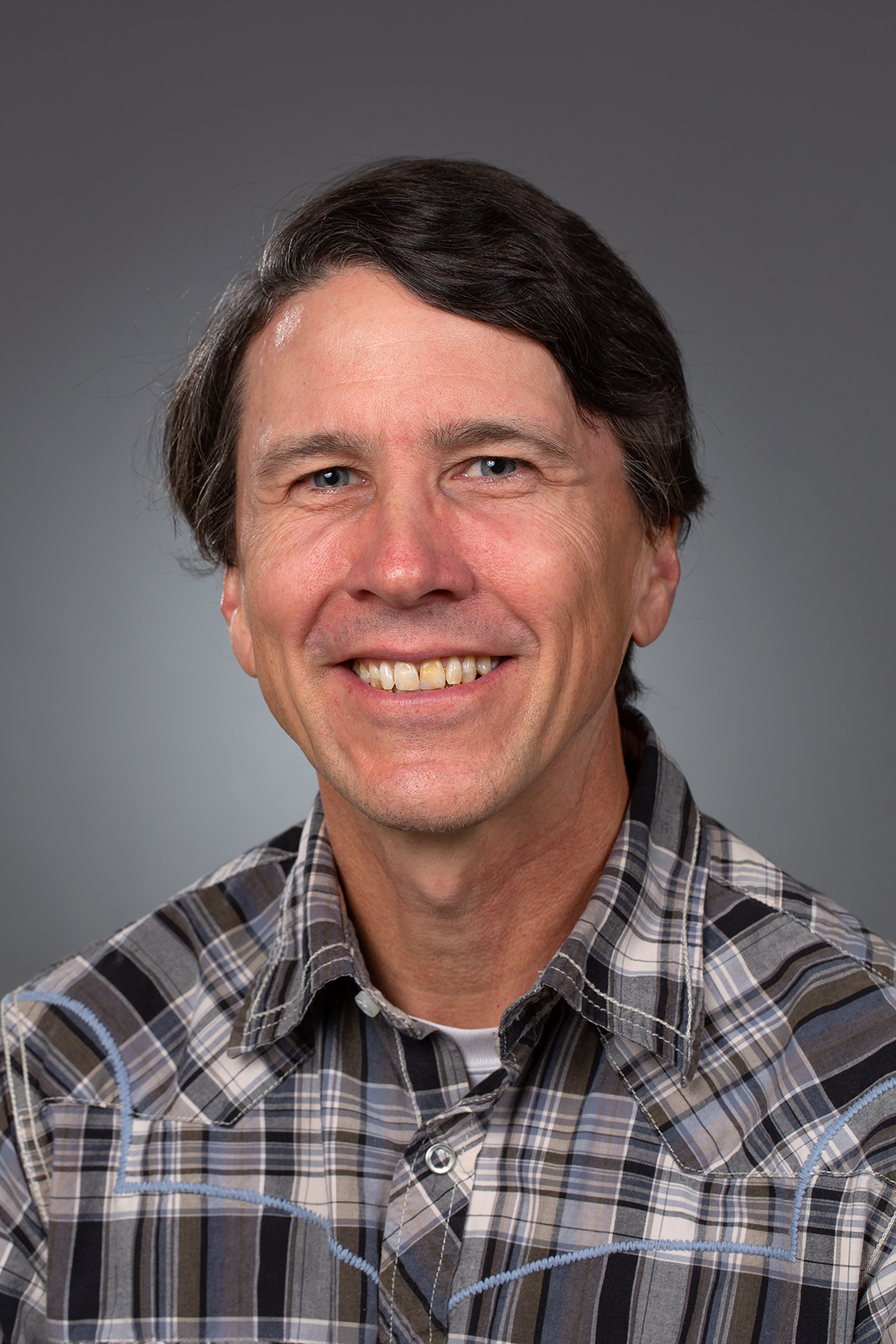
Profile Photo: Doug Miskowiak

Doug Miskowiak

  • GIS Instructional Administrator
  • GIS Graduate Certificate Program Director
  • [ More… ]
Profile Photo: Jamie Chavez

Jamie Chavez

  • Associate Lecturer
Profile Photo: Vanessa Bailey

Vanessa Bailey

  • Assistant Professor
SCI 305B

Earth and Space Science for Educators

This certificate program is intended for, but not limited to, those students pursuing a degree in science education. The certificate can be completed concurrently with your undergraduate degree in Natural Sciences with teaching intent or a related field. The certificate does not meet the requirements for an Earth/Space license through the Wisconsin Department of Public Instruction.

Consists of a minimum of 15 credits. The certificate is administered jointly by the Department of Physics and Astronomy and the Department of Geography and Geology.

Required Courses, 12 credits

  • ASTR 205 – The Solar System Credits: 4
  • ASTR 206 – Stars and Stellar Systems Credits: 4
  • GEOG 105 – The Dynamic Earth Credits: 3
  • GEOL 106 – Earth History Credits: 1

Elective Courses, 3 credits

Choose From:

  • ASTR 306 – Observational Astronomy Credits: 3
  • GEOG 208 – Weather and Climate Credits: 3
  • GEOG 308 – Climate: Past, Present, and Future Credits: 3 or
  • GEOL 308 – Climate: Past, Present, and Future Credits: 3
  • GEOG 312 – Geomorphology Credits: 3 or
  • GEOL 312 – Geomorphology Credits: 3
  • GEOL 104 – Physical Geology Credits: 4
  • GEOL 230 – Environmental Geology Credits: 3
  • GEOL 370 – Glacial Geology Credits: 3

For more information, please visit the UW-Stevens Point course catalog.

Geographic Information Systems and Spatial Science (GISSA)

Study your environment through Geospatial Science at UW-Stevens Point. Geographic Information Systems (GIS) is one of today’s more pervasive high-growth employment sectors and sees a clear need for people with a solid education and robust skills in GIS. Employment numbers are growing nationally at a rate of 15% per year and are anticipated to accelerate (U.S. Department of Labor).

The GIS and Spatial Analysis minor is administered by the Department of Geography and Geology.

Consists of at least 18 credits. View course catalog.

Required Core- 12 Credits:

  • GEOG 341 – Geographic Information Systems I Credits: 3
  • GEOG 343 – Geographic Information Systems II Credits: 3
  • GEOG 377 – Remote Sensing I Credits: 3
  • GEOG 477 – Remote Sensing II Credits: 3

Electives- 6 Credits:

Choose from:

  • GEOG 260 – Introduction to Cartography: Map Conceptualization and Development Credits: 3
  • GEOG 342 – GIS Database Design and Data Modeling Credits: 3
  • GEOG 433 – GIS and Geodesign for Sustainability and Resiliency Credits: 3
  • GEOG 480 – Internship in Geography Credits: 1-12 (may only apply 3 credits)
  • WATR 391 – GIS Applications in Natural Resources Credits: 3

Urban Planning and Geodesign

This minor administered by the Department of Geography and Geology studies the use of geospatial technologies to plan built and natural environments. Students have access to facilities including spatial analysis computer laboratories, the Maurice E. Perrett Map Center, the Earth Materials Testing Laboratory, and various field equipment.

Consists of 21 credits. View course catalog

Required Core, 15 credits

  • GEOG 230 – Introduction to Regional Planning and Geodesign Credits: 3
  • GEOG 330 – Urban and Regional Planning Analysis Credits: 3
  • GEOG 341 – Geographic Information Systems I Credits: 3
  • GEOG 377 – Remote Sensing I Credits: 3
  • GEOG 433 – GIS and Geodesign for Sustainability and Resiliency Credits: 3

Planning Electives, 3 credits

Selected from:

  • GEOG 141 – The Geospatial Revolution Credits: 3
  • GEOG 331 – Planning Theory and Ethics Credits: 3
  • NRES 488 – Land Use Plan Implementation Credits: 3
  • POLI 341 – Urban Politics Credits: 3
  • SOC 360 – Population Problems Credits: 3

Geospatial Technology Electives, 3 credits

Selected from:

  • GEOG 342 – GIS Database Design and Data Modeling Credits: 3
  • GEOG 343 – Geographic Information Systems II Credits: 3

Geographic Information Systems (GIS)

The GIS Professional Certificate is awarded upon successful culmination of a series of courses that focus on professional competency and proficiency in using GIS. Valued by both private and public employers, it substantiates your expertise in using GIS to address a broad range of geographic-based issues and problems. Program participants will acquire abilities to communicate effectively with maps, represent earth’s cultural and physical features with GIS data, analyze geospatial patterns, trends, and relationships, and design geospatial models and scenarios for critical decision-making.

This certificate requires a minimum completion of 12 credits. This certificate is also available at the graduate level. View course catalog

Core Courses, 6 credits

  • GEOG 341 – Geographic Information Systems I Credits: 3
  • GEOG 343 – Geographic Information Systems II Credits: 3

Elective Courses, 6 credits

  • GEOG 260 – Introduction to Cartography: Map Conceptualization and Development Credits: 3
  • GEOG 342 – GIS Database Design and Data Modeling Credits: 3
  • GEOG 377 – Remote Sensing I Credits: 3
  • GEOG 433 – GIS and Geodesign for Sustainability and Resiliency Credits: 3
  • GEOG 477 – Remote Sensing II Credits: 3
  • GEOG 480 – Internship in Geography Credits: 1-12 or
  • GEOG 485 – Practicum in Geography Credits: 1-3

Related Graduate Certificates:

GIS Professional Certificate Program

Environmental Geography

The Department of Geography and Geology administers the environmental geography minor. Students have access to facilities including spatial analysis computer laboratories, the Maurice E. Perrett Map Center, the Earth Materials Testing Laboratory, and various field equipment.

Consists of 21-22 credits. View course catalog

Required core, 9-10 credits

  • GEOG 100 – Human Impacts on the Physical Environment Credits: 3 or
  • GEOG 105 – The Dynamic Earth Credits: 3 or
  • GEOL 104 – Physical Geology Credits: 4
  • GEOG 115 – World Regional Geography Credits: 3 or
  • GEOG 120 – Human Geography Credits: 3
  • GEOG 141 – The Geospatial Revolution Credits: 3 or
  • GEOG 341 – Geographic Information Systems I Credits: 3

Physical Geography and Geospatial Science, 6-7 credits

Choose from:

  • GEOG 170 – Disasters – Living on the Edge Credits: 4
  • GEOG 208 – Weather and Climate Credits: 3 or
  • GEOG 308 – Climate: Past, Present, and Future Credits: 3 or
  • GEOL 308 – Climate: Past, Present, and Future Credits: 3
  • GEOG 230 – Introduction to Regional Planning and Geodesign Credits: 3
  • GEOG 303 – Processes of Environmental Degradation Credits: 3
  • GEOG 341 – Geographic Information Systems I Credits: 3
  • GEOG 377 – Remote Sensing I Credits: 3
  • GEOL 230 – Environmental Geology Credits: 3

Social and Human Perspectives, 6 credits

Choose from:

  • FN 357 – Ecology of Foods Credits: 3
  • GEOG 230 – Introduction to Regional Planning and Geodesign Credits: 3 (if not taken above)
  • GEOG 303 – Processes of Environmental Degradation Credits: 3 (if not taken above)
  • HIST 204 – Modern Global Environmental History Credits: 3 or
  • HIST 280 – American Environmental History Credits: 3 or
  • HIST 306 – The Human Age Credits: 3
  • NRES 200 – Introduction to Sustainable Communities Credits: 3
  • NRES 220 – Global Climate Change and Water Resources, 10th Century to Present Credits: 3 or
  • WATR 220 – Global Climate Change and Water Resources, 10th Century to Present Credits: 3
  • NRES 341 – Introduction to Sustainable Energy Policy Credits: 3 or
  • NRES 365 – Environmental Policy Credits: 3
  • PHIL 380 – Environmental Ethics Credits: 3
  • POLI 304 – Environmental Politics and Policy Credits: 3 or
  • POLI 305 – Climate Change Politics and Policy Credits: 3
  • PSYC 321 – Environmental Psychology Credits: 3
  • REL 345 – Religion and Ecology Credits: 3
  • SOC 355 – Environmental Sociology Credits: 3

Earth Science Minor

The Earth Science minor offered through the Department of Geography and Geology is designed to offer a concentration of studies in earth and atmospheric science. The Earth Science provides a broad-based program and satisfies the basic framework required by the Department of Public Instruction, which has certified the minor for education majors. Courses for the minor are taught by the Department of Geography and Geology and the Department of Physics and Astronomy.

The program offers students a cutting-edge learning environment in which teaching excellence is of prime importance. Faculty members work closely with students enrolled in the minor, helping design a course of study oriented to the students’ interests, special abilities and career objectives. Small upper-level class size, active academic advising and superb laboratory facilities promote academic success. Students are also encouraged to participate in field trip courses to gain a better understanding of our natural environment throughout the world

For more information visit the UW-Stevens Point course catalog.

In addition to K-12 education, the Earth Science minor prepares students for employment in government agencies such as the United States Geological Survey, the Environmental Protection Agency, the Department of Homeland Security, and state natural resource and geological agencies as well as private consulting companies.

Community Sustainability

DEVELOP AND LEAD SUSTAINABLE COMMUNITIES IN THE 21ST CENTURY

The Community Sustainability major caters to science-focused students who want to put their knowledge to work in building and developing sustainable organizations or communities. The program complements existing sustainability degrees that center on resource management, food systems and education.

Do you want the skills and knowledge to lead environmental efforts for the 21st century? UW-Stevens Point led the development of a new major to integrate the social, ethical and political dimensions of environmental sciences with the tools to foster community change.

Department of Geography and Geology

Why Study Community Sustainability at UW-Stevens Point?

Community Sustainability leverages robust skills in urban planning and policy, ethics, justice and organizational leadership. Students get the benefit of an interdisciplinary approach, with courses in environmental science (Geography), social inequality (Sociology), grant writing (English), environmental law (Political Science), and environmental ethics (Philosophy), giving them a thorough understanding of the field and the skills to make an impact in future careers.


Awards and Scholarships

The Department of Geography/Geology has established a program of awards to encourage, reward, and recognize student excellence in the department. Each award includes a certificate and cash award.


WHAT TO EXPECT

Students will gain a foundation in environmental science and climate change. In addition to the first 40 required core credits, students will choose an emphasis track of either Resilient Urban Systems and Policy or Environmental Justice and Community Engagement. Community Sustainability leverages robust skills in urban planning and policy, ethics, justice and organizational leadership.  View major requirements here.

Several new courses, including Sustainability as a Profession, have been added to the fall course catalog in this key area of study.

GET INVOLVED ON CAMPUS

You might consider volunteering, part-time, summer, internship or co-op experience in the field. Join a student group interested in eco-initiatives:

  • UWSP Students for Sustainability invites speakers to present on impacts of our daily choices, tour local sustainable farms, and work to foster sustainable lifestyles.
  • 350 Stevens Point is a chapter of an international organization called 350.org, focused on the fight for a fossil-free future and climate resiliency.

More student group opportunities can be found on the Stevens Point Involvement Network (SPIN).

meet your faculty

Department faculty have training and interests in cartography, geographic information systems, climatology, geomorphology, hydrology, natural hazards, environmental science, and cultural, economic and urban geography.

Profile Photo: Chris Diehm

Chris Diehm

  • Professor
  • Chair, Department of Philosophy and Religious Studies
  • [ More… ]
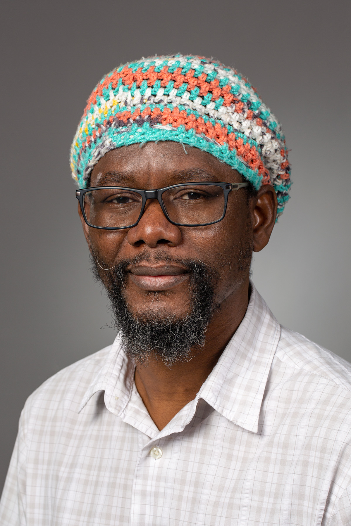
Profile Photo: Ismaila Odogba

Ismaila Odogba

  • Professor
  • Co-Director, Center for the Small City
  • [ More… ]
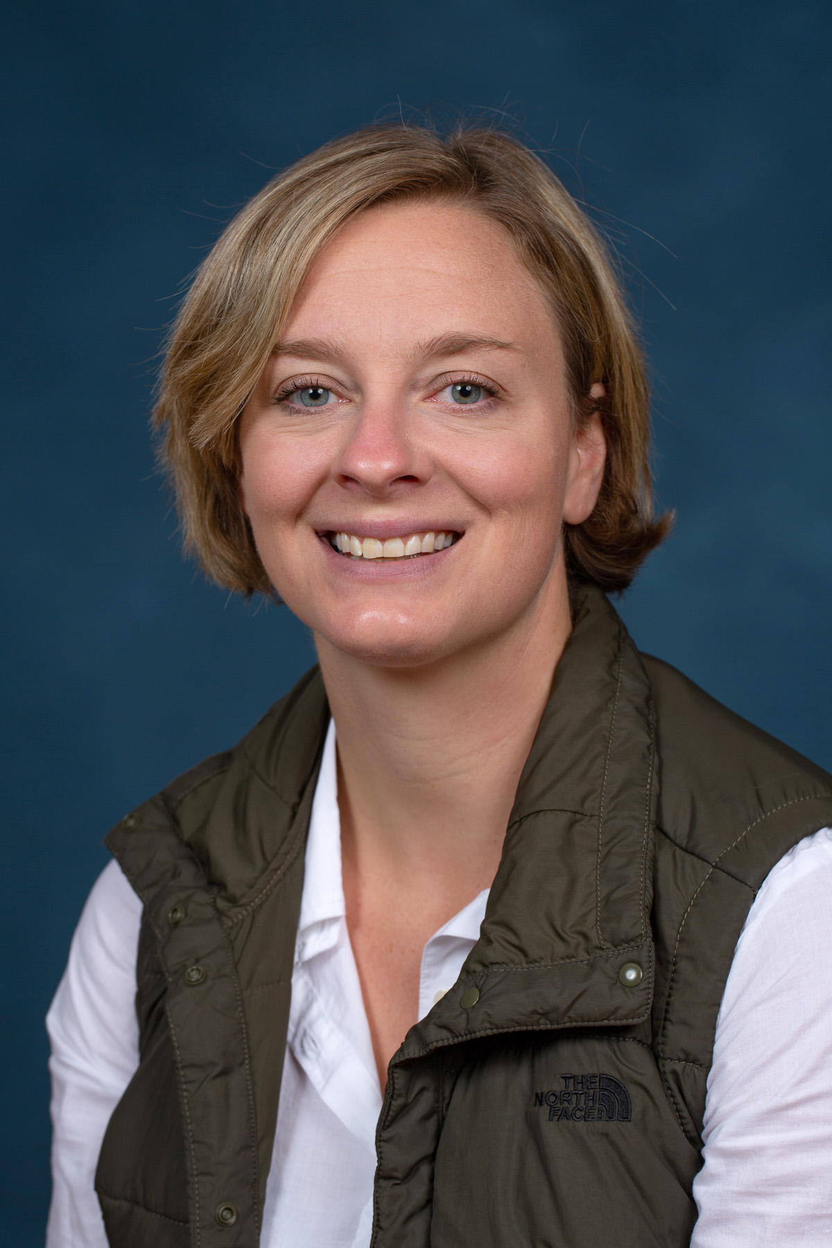
Profile Photo: Lisa Siewert

Lisa Siewert

  • Senior Lecturer
Profile Photo: Samantha Kaplan

Samantha Kaplan

  • Professor
  • Global Affiliate Scholar – Ed.D. in Educational Sustainab…

Geospatial Sciences

A GEOSPATIAL SCIENCE DEGREE DIRECTS STUDENTS TO SUPPORT MUNICIPAL, STATE OR NATIONAL PROJECT WORK

The potential for using your geospatial sciences major in private enterprise and government has grown considerably in recent years. This potential is reflected in our stellar placement rates – 93 percent of UW-Stevens Point geospatial sciences majors are hired or enrolled in further education within one year of graduation.

The geospatial science program at the University of Wisconsin-Stevens Point allows students to pursue degrees with specializations in geographic information science and cartography, cultural geography, urban planning and geodesign (the use of geospatial technologies to plan built and natural environments).

Many graduates choose to deepen their knowledge with minor programs in Earth Science, Environmental Geography, Geographic Information Systems and Spatial Science (GISSA), or Urban Planning and Geodesign. Students may also earn a professional certificate in Geographic Information Systems (GIS).

Department of Geography and Geology

Why Study Geospatial Sciences at UW-Stevens Point?

The Department of Geography and Geology will prepare you for an exciting and meaningful career. Our faculty will instill their knowledge of cartography, geographic information systems, cultural, economic and urban geography, and environmental science. You will hone your expertise in spatial information and the relationship between people, places and the planet.


Program Facilities

From the Earth Materials Testing Laboratory to the Map Center and Spatial Analysis computer labs. You will have access to state-of-the-art computer equipment for the facilitation of map production and geographic analyses. Our students are trained in the field with weather and climate studies, palynology, submeter GPS data collection, large scale urban mapping, and much more.


Awards and Scholarships

The Department of Geography/Geology has established a program of awards to encourage, reward, and recognize student excellence in the department. Each award includes a certificate and cash award.


WHAT TO EXPECT

Geoscientists locate resources such as potable water, oil, gas and metallic ore deposits, forecast the weather and model climate change, develop land-use plans and geohazard maps, explore Earth’s remote localities as well as other planets and the solar system. The geoscience field is experiencing significant growth in response to an interplay of increasing global consumption and decreasing availability of Earth materials.

Geospatial Sciences students enjoy studying the relationship between people, places, and the planet. Our majors are detectives who try to reveal the past and future of the Earth.

Graduates with a bachelor’s degree in geospatial sciences often find employment at:

  • private firms
  • local, state and federal agencies
  • in teaching, primarily at the secondary level

GET INVOLVED ON CAMPUS

The GeoClub is an informal organization open without restriction to all students interested in the field of geospatial science, geography and geoscience. Gamma Theta Upsilon is an international geographical honor society open to geography students. Prerequisites for regular membership include completion of a minimum of nine credits above the 100 level in geography, a geography grade-point average of a B or higher, and payment of a lifetime membership fee.

Our geospatial sciences majors commonly seek volunteer, part-time, summer, internship or co-op experience in the field. Many consider joining professional organizations such as the American Geographic Society of National Council for Geographic Education. Many join groups that promote natural resources or the environment and pollution control.

Graduate Profiles

Our graduates are in demand. Nationally and regionally, there is a pressing need for professionals educated in GIS and related spatial analysis techniques. Prepare yourself for purposeful work through your courses in the Department of Geography and Geology. Some of our alumni share their career paths!


MEET YOUR FACULTY

UWSP Geo faculty have training and interests in cartography, geographic information systems, climatology, geomorphology, hydrology, natural hazards, environmental science, and cultural, economic and urban geography. Meet your professors!

Profile Photo: Doug Miskowiak

Doug Miskowiak

  • GIS Instructional Administrator
  • GIS Graduate Certificate Program Director
  • [ More… ]
Profile Photo: Ismaila Odogba

Ismaila Odogba

  • Professor
  • Co-Director, Center for the Small City
  • [ More… ]
Profile Photo: Lisa Siewert

Lisa Siewert

  • Senior Lecturer
Profile Photo: Samantha Kaplan

Samantha Kaplan

  • Professor
  • Global Affiliate Scholar – Ed.D. in Educational Sustainab…